Inside the 610 Loop? Then Checkout These Places To Run
 |
| City run in Houston, TX Montrose Area |
Sometimes running the same ole’ route or jogging on a treadmill can get monotonous. This blog will give you ten places in the heart of Houston that you can branch out and go for a run. Remember to adhere to safe outdoor running practices and enjoy the times of day that provide for the best weather opportunities.
Key for Distance Section:
Sprint Distance- 1 mile or less
Mid-Distance- Good for 5k training
Long Distance- 10K+ routes
 |
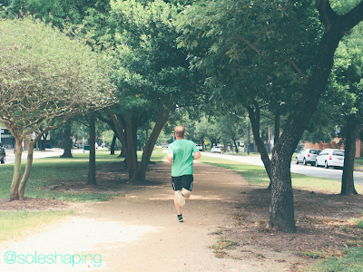
| Houston, TX Jogging Path |
Memorial Park
Location: 6501 Memorial Drive Houston, TX 77007
Parking: Abundant around the entire loop
Length: Mid-Distance
Description: Memorial Park loop is a popular walk/run path inside the 610 loop in Houston Texas. There are no bikes allowed on the path so you can enjoy the run without fear of cyclist traffic. There are spots without shade so plan your run accordingly.
Nearby Eats & Attractions: Candelaris Pizzeria, Benjy’s, Memorial Park Golf Course
Memorial Route Map:
________________________________________________
 |
| Rice University Jogging Trail Houston, TX |
Rice University Jogging Trail
Location: Around the campus of Rice University; 6100 Main St. Houston, TX 77005
Parking: Limited parking; paid parking is available
Length: Mid-Distance
Description: The Rice University jogging trail is a shaded walk/run only path that loops around the border of the campus. This a popular trail that can help you get motivated with others trying to achieve their fitness goals.
Nearby Eats & Attractions: Hungry’s, Picnic, James Turrell’s Twilight Epiphany, Museum District
Rice University Trail Map Route:
________________________________________________
 |
| Buffalo Bayou Running Trail Houston, TX |
Buffalo Bayou Trail
Location: 1600-1622 Allen Pkwy Houston, TX 77019
Parking: Limited; paid parking is available; some free parking is available on the weekends
Length: Long Distance
Description: This long run will take you along Buffalo Bayou with great views of Downtown Houston. There are bike paths as well as trails that branch off closer to the bayou where bikes are not allowed. Be cautious after a big rain because flooding is typical along Allen Parkway.
Nearby Eats & Attractions: The Federal Grill, The Spaghetti Western, The Dunlavy, The Cistern, Eleanor Tinsley Park, Downtown Houston
Buffalo Bayou Map Route:
________________________________________________
Baldwin Park
Location: 1702 Elgin St. Houston, TX 77004
Parking: Limited
Length: Sprint Distance
Description: Baldwin Park is a small community park near Midtown in Houston. Although it does not accommodate lengthy runs it is a location with beautiful old trees to provide shade for sprint and circuit training.
Nearby Eats & Attractions: Canopy, Snooze, The Breakfast Klub, Downtown Houston
Baldwin Park Map Route:
________________________________________________
Purple Trail Memorial Trail Head
Location: 6501 Memorial Dr. Houston, TX 77007
Parking: Abundant parking near softball fields on North Picnic Lane
Length: Mid-Distance
Description: Taking one of the many trails at Memorial Park Conservancy can make your feel like your not right smack in the middle of the bustling city. The trails are frequented by mountain bikers and hikers so be aware during your run. The purple trail makes for a longer easier run but you can always add in smaller more difficult trails like the blue trail to power up your run.
Nearby Eats & Attractions: Liberty Kitchen, Houston Arboretum & Nature Center, The Galleria
Purple Trail Map Route:
________________________________________________
Thanks for reading so far into the trails I recommend for Central Houston running/walking. Here are some humid outdoor items I would recommend to take with you! If you follow an affiliated link and make a purchase we may receive some compensation at no extra cost to you.
________________________________________________
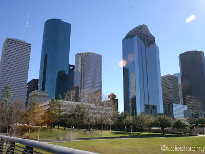 |
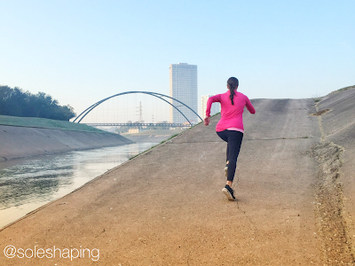
| Houston, TX Skyline from @soleshaping social media |
Spotts Park
Location: 3519 Willia St. Houston, TX 77007
Parking: Limited
Length: Spring Distance
Description: Spotts Park offers paths with lengths that can help you with your quarter mile sprint pace. The park also has the added benefit of a steep hill and staircase for you to work on your elevation training.
Nearby Eats & Attractions: Patrenella’s, El Tiempo, Buffalo Bayou, Downtown Houston
Spotts Park Map Route:
________________________________________________
Brays Bayou Greenway Trail
Location: Hermann Park 6100 Hermann Park Dr. Houston, TX 77030 or MacGregor Park 4463-4599 S MacGregor Way Houston, TX 77021
Parking: Limited at peak times and during special events
Length: Long Distance
Description: The Brays Bayou Greenway Trail provides a ling between Hermann and MacGregor Park. There is limited shade and it is a long trail so be prepared especially during the hot and humid months in Houston. (Which sometimes feels like every month)
Nearby Eats & Attractions: Ray’s Real Pit BBQ Shack, Houston Zoo, University of Houston
Greenway Trail Map Route:
________________________________________________
Stude Park
Location: 1031 Stude St. Houston, TX 77007
Parking: Limited during high traffic times
Length: Sprint Distance to Long Distance
Description: Stude Park is a community park located between I10 and I45 in Houston. Stude Park has trails that can be used for short distance sprints or you can link up to others trails of White Oak Park and Hogg Park to extend the length of your run. If you are looking for a long run then check our Heights Bike Trail and White Oak Bayou Trail for a lengthy training session, but beware to share the road with cyclists.
Nearby Eats & Attractions: Barnaby’s Cafe, Onion Creek Cafe, Downtown Aquarium
Stude Park Map Route:
________________________________________________
Paul Carr Jogging Trail
Location: 1922-1998 Heights Blvd Houston, TX 77008
Parking: Limited
Length: Mid-Distance
Description: Paul Carr Jogging Trail is a local park trail in the Heights neighborhood of Houston. The path is well shaded and there are interesting works of art that tend to pop up along the route.
Nearby Eats & Attractions: Down House, Crisp, Opera in the Heights
Paul Carr Map Route:
________________________________________________
Menil Park
Location: 1417 Sul Ross St. Houston, TX 77006
Parking: Limited during peak times
Length: Mid-Distance
Description: This Montrose neighborhood is filled with large live oak trees and beautiful architecture. This is not a marked trail so much as a route you can blaze on your own. Take Sul Ross Street past the Menil to the University of Saint Thomas (go around or through campus) then loop back down Branard Street.
Nearby Eats & Attractions: The Hobbit Cafe, The Menil Collection, Rothko Chapel, University of Saint Thomas
Menil Park Map Route:
Related Posts:
Menil Park Map Route:
________________________________________________
Thanks for reading my running trails blog for Houston, TX. Here are a few more recommendations for you before heading out on your run!
________________________________________________
In the Houston Area or simply love fitness follow @soleshaping on:
Related Posts:
Sole Shaping Blog is written by a nationally certified personal trainer, however, the topics and information given might not be specific for your health and wellness needs. The blog is intended for informational purposes only and not direct health advice. Consult with a doctor before beginning an exercise program or changing your nutritional diet. The blog is accurate and true to the best of my knowledge, but omissions, errors or mistakes may occur.
This website contains affiliate marketing ads which means if you follow a link and make a purchase, we receive small compensation at no extra cost to you.


